Back to Weather

5-day forecast / Winter Springs, FL

WednesdayShowers And Thunderstorms78° / 72° 94%
ThursdayShowers And Thunderstorms81° / 73° 81%
FridayShowers And Thunderstorms85° / 75° 84%
SaturdayChance Showers And Thunderstorms87° / 76° 84%
SundayShowers And Thunderstorms Likely89° / 75° 64%

Winter Springs Weather: High Humidity and Persistent Rain Expected - Oct 7, 3 PM

Winter Springs weather, updated every four hours — local forecasts you can trust.

Winter Springs is experiencing significant humidity with a dew point of 73F. Showers and thunderstorms are likely today and tomorrow, with rainfall amounts of up to two inches possible tonight.

Paloma Lowery

October 7, 20261 min read

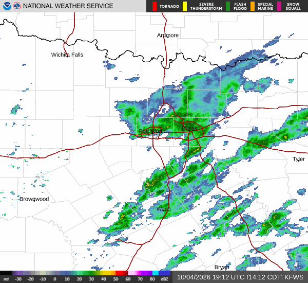
National Weather Service radar for North Texas (KFWS)

*As of Oct 7, 3 PM local time.*

Current Conditions and Humidity

Winter Springs is currently dealing with notably muggy conditions this afternoon. The air temperature sits at 75F, but the high moisture content makes it feel like 77F. Relative humidity is extremely high at 94%, with a dew point of 73F.

This combination creates a heavy, sticky atmosphere that can make outdoor activities feel more exhausting than the temperature alone suggests. Winds are currently blowing from the northeast at 8 mph, with gusts reaching 12 mph, while rain is falling under a cloudy sky.

Today and Tonight Outlook

Residents should expect continued wet weather for the rest of the day. The high will remain near 78F, with a 94% chance of precipitation. Showers and thunderstorms are the primary feature, accompanied by mostly cloudy skies.

New rainfall amounts between a half and three quarters of an inch are possible. As night falls, the low will drop to around 72F. The chance of precipitation remains high at 90%, and rainfall totals could increase significantly, with new amounts between 1 and 2 inches possible.

Northeast winds will stay light around 5 mph.
Tomorrow's Forecast

Tomorrow will bring similar wet conditions with a high near 81F. Showers and thunderstorms are expected before 2pm, followed by a high likelihood of storms between 2pm and 5pm. The chance of precipitation is 81%, with another half to three quarters of an inch of rain possible.

Temperatures may fall to around 77F in the afternoon. Winds will shift to 5 to 10 mph, with gusts as high as 20 mph. The low will be near 73F.

Given the persistent rain and high humidity, it is wise to stay hydrated and limit midday exertion. There are no active weather alerts in effect.

National Weather Service radar for North Texas (KFWS)

Sources

National Weather Service radar

National Weather Service forecast data

Open-Meteo weather data

Share

Paloma Lowery

Paloma Lowery covers weather, storms, and seasonal life around Winter Springs.

Related Stories

More in Sport