Back to Weather

5-day forecast / Winter Springs, FL

SundayChance Showers And Thunderstorms90° / 75° 50%
MondayPartly Sunny then Slight Chance Showers And Thunderstorms87° / 74° 65%
TuesdayShowers And Thunderstorms82° / 73° 90%
WednesdayShowers And Thunderstorms82° / 72° 79%
ThursdayShowers And Thunderstorms Likely83° / 73° 61%

Winter Springs Weather: Heat and Humidity Mix with Storm Risk - Oct 4, 3 PM

Winter Springs weather, updated every four hours — local forecasts you can trust.

Residents in Winter Springs are facing a muggy afternoon with a feels-like temperature of 99F. A 50% chance of showers and thunderstorms is expected today, with slightly higher odds tomorrow.

Paloma Lowery

October 4, 20262 min read

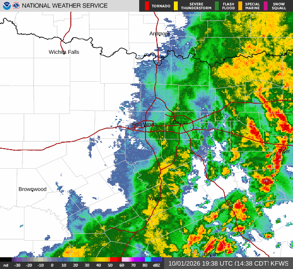
National Weather Service radar for North Texas (KFWS)

*As of Oct 4, 3 PM local time.*

Current Conditions and Heat

It is currently Sunday this afternoon in Winter Springs, where the air temperature stands at 91F. The combination of heat and moisture means the temperature feels like 99F. Relative humidity is at 53%, and the dew point is 72F, contributing to a noticeable sense of mugginess.

The sky is clear, and winds are blowing from the east southeast at 8 mph, with gusts reaching 11 mph. While the immediate sky is clear, the atmospheric conditions are setting the stage for potential instability later in the day.

Today and Tonight Outlook

Today, there is a 50% chance of showers and thunderstorms. The high will be near 90F, though temperatures are expected to fall to around 83F in the afternoon. Partly sunny conditions are likely, with east southeast winds around 5 mph.

New rainfall amounts between a tenth and a quarter of an inch are possible. Tonight, the chance of precipitation remains at 50%, with showers and thunderstorms likely before 1 a.m. The sky will be mostly cloudy, and the low temperature will drop to around 75F.

South southeast winds will be light, ranging from 0 to 5 mph. Rainfall totals could reach between a quarter and a half of an inch.
Tomorrow's Forecast

Tomorrow brings a slightly higher chance of precipitation at 65%. The day will start partly sunny with a high near 87F. Temperatures may fall to around 81F in the afternoon.

A slight chance of showers and thunderstorms is expected between noon and 1 p.m., followed by a chance of storms between 1 p.m. and 2 p.m., and again between 2 p.m. and 4 p.m. Showers and thunderstorms are likely later in the day. South southwest winds will be light, between 0 and 5 mph.

New rainfall amounts between a quarter and a half of an inch are possible. There are no active National Weather Service alerts in effect. Given the high humidity and heat, it is wise to stay hydrated and limit strenuous outdoor activities during the warmest parts of the day.

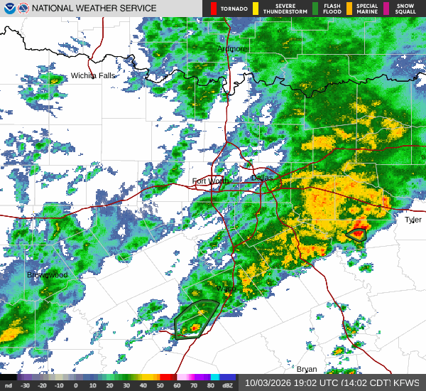
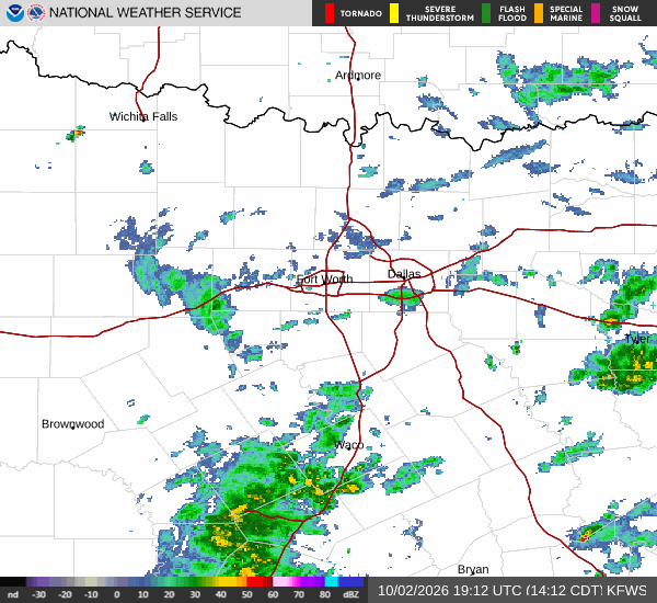
National Weather Service radar for North Texas (KFWS)

Sources

National Weather Service radar

National Weather Service forecast data

Open-Meteo weather data

Share

Paloma Lowery

Paloma Lowery covers weather, storms, and seasonal life around Winter Springs.

Related Stories

More in Sport

Sport

UCF’s 17-0 Lead Ran Out of Offense in Houston

UCF led Houston 17-0 before a tipped interception and two short possessions helped the Cougars take control. The Knights’ 27-17 loss showed how quickly an offense can surrender its room to recover.

Cody HalloranOctober 4, 20263 min read