Local business? Support local news on WinterSprings.city

Back to Weather

5-day forecast / Winter Springs, FL

SundaySunny72° / 55°
MondayMostly Sunny74° / 61° 14%
TuesdayChance Rain Showers74° / 62° 30%
WednesdayChance Rain Showers77° / 64° 35%
ThursdayChance Rain Showers79° / 65° 28%

Winter Springs Weather: Humid Afternoon with Slight Storm Chance - Nov 4, 2 PM

Winter Springs weather, updated every four hours — local forecasts you can trust.

Winter Springs residents face a muggy afternoon with a dew point of 72F. A slight chance of showers exists, followed by patchy fog tonight and a mostly sunny tomorrow.

Paloma Lowery· AI-assisted, edited by Jake Team

November 4, 20261 min read

National Weather Service radar for North Texas (KFWS)

*As of Nov 4, 2 PM local time.*

Current Conditions and Humidity

The primary concern for Winter Springs this afternoon is the significant humidity. The air temperature sits at 82F, but the muggy conditions make it feel like 87F. This discomfort is driven by a dew point of 72F and relative humidity at 70%.

The sky is partly cloudy, with winds blowing from the east southeast at 8 mph, gusting to 10 mph. While the heat is manageable, the moisture in the air is quite noticeable for anyone spending time outdoors.

Today and Tonight Outlook

Residents should remain aware of a slight chance of showers and thunderstorms today. The official forecast indicates a 20% chance of precipitation, with temperatures peaking near 84F before falling to around 80F in the afternoon. As evening approaches, the weather will shift.

Tonight will feature patchy fog developing after 4 am. The sky will remain partly cloudy, and temperatures will drop to a low near 69F. Winds will calm significantly, shifting to 0 to 5 mph from the east southeast.
Tomorrow’s Forecast

Tomorrow brings a similar pattern of early morning fog, expected to clear before 8 am. Following the fog, the day will be mostly sunny. The high temperature will reach near 85F, with afternoon temperatures falling to around 81F.

The chance of precipitation is lower, at 13%. Winds will be light, ranging from 0 to 5 mph from the east northeast. There are no active National Weather Service alerts in effect for the area.

Given the persistent humidity and potential for fog, drivers should exercise caution during early morning hours, and residents should stay hydrated during the warmer afternoon periods.

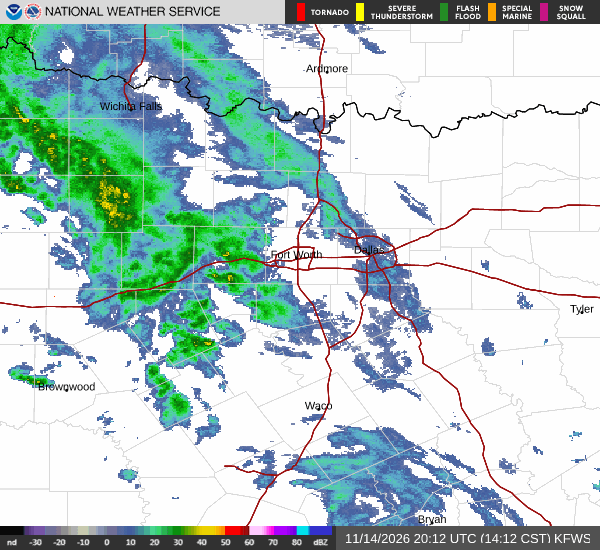
National Weather Service radar for North Texas (KFWS)

Sources

National Weather Service radar

National Weather Service forecast data

Open-Meteo weather data

Share

Paloma Lowery· AI-assisted, edited by Jake Team

Paloma Lowery covers weather, storms, and seasonal life around Winter Springs.

Related Stories

More in Sport